Pipeline shifts are inevitable. Pipelines can shift from the original position it was laid through:
- Natural phenomena such as landslides, earthquakes, erosion, etc.
- Operational changes such as temperature and pressure
- Third-party damage from construction and excavation
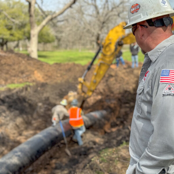
It’s important to monitor and check the location of your pipeline to avoid damage and potential releases. Oftentimes, operators encounter a situation where pipeline location data is 1) unavailable or lost or 2) overloaded with too much information in different formats over decades. This situation is especially true for older, vintage pipelines.
The Importance of TVC Records
- Traceable, verified, complete records are an important component of the PHMSA mega-rule
- Having complete records includes documenting what is the ground and where it is
- TVC records are especially important in critical areas
Mitigating Geohazard Threats
Geohazard threats can pose a threat even when the surface seems normal. Even in areas that aren’t considered high risk, weather occurrences such as flooding can lead to landslides or erosion. Recommended actions to take to lessen risks from geohazards are:
- Identify and evaluate areas prone to geohazards
- Ensure sufficient information is available to avoid or minimize the impact of movement
- Develop plans for each identified location based on the hazards identified
- Conduct periodic visits and site inspections
The impact of geohazards can be seen with the Hillsboro, Kentucky pipeline rupture on May 4th, 2020. Years before the rupture, Enbridge discovered the pipe had shifted through in-line inspection and determined the area was a potential geohazard. The National Transportation Safety Board determined the probable cause was due to the analysis not addressing the uncertainties from the landslide, pipeline defects, and the pipeline’s response.
XYZ Mapping
XYZ mapping determines the pipeline’s spatial position or coordinates for the entire pipeline. As a result, accurate coordinates are given for all reported features, such as valves, fittings, and anomalies. Not only does it detail feature locations, but the data can provide an in-depth look at potential displacement and allow for bending strain analysis. An XYZ mapping run can be used as a stand-alone tool or in combination with an ILI tool.
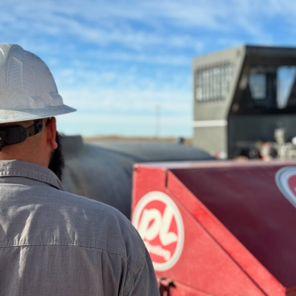
PL Testing recently completed a recertification project for a large midstream operator that included pipeline mapping. The goal of the mapping was to look for shifting, including marking the route with markers. These above-ground markers allow the inertial data to be referenced by the standard navigation system. Once the pipeline was mapped out, external hazards were assessed, and internal hazards such as corrosion could now be easily located.
Mapping a pipeline allows for efficient planning to identify, assess, and mitigate threats.
Disclaimer: This case study is a commentary on previous events in the pipeline industry by PL Testing. PL Testing was not involved in this event but provided this material for editorial and educational use only.